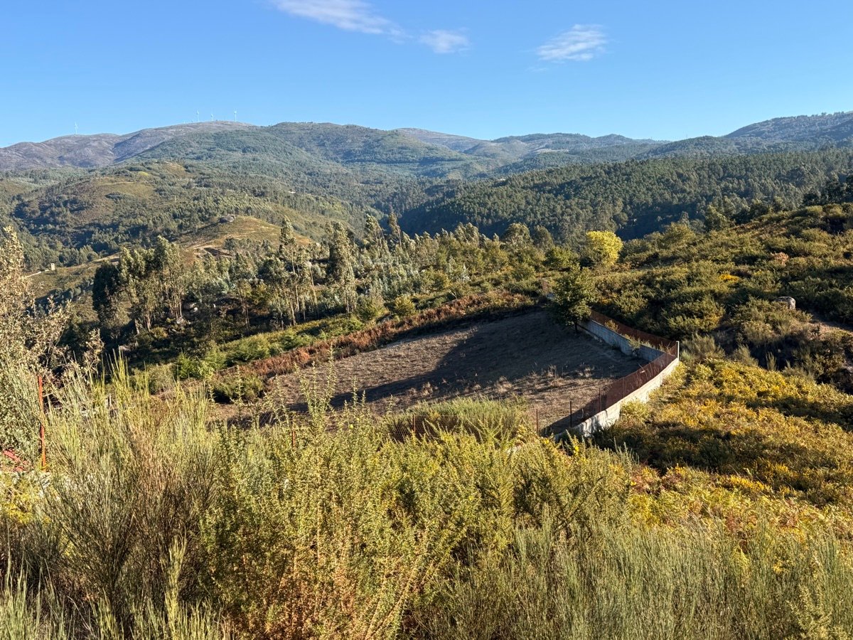
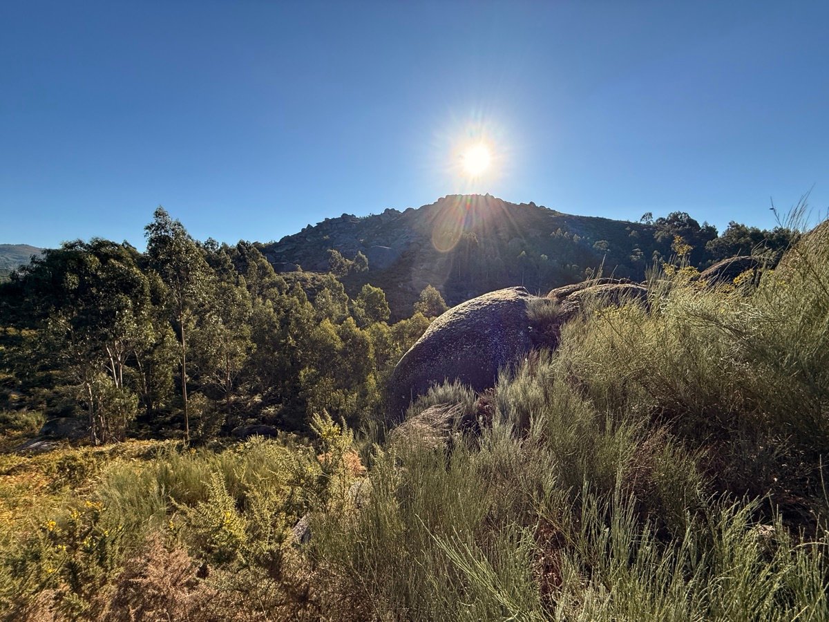
≈7.00 hectares in Rossas, Vieira do Minho — between the village fields and the upper hillside.
The land has been in the family for generations. The confirmed area — ≈7.00 hectares, per the BUPi cadastral registry updated in 2026 — falls into two parts: the upper land, tax matrix no. 1869 ("Rossas — Monte"), with 4.71 hectares of hillside and woodland; and the village land, four adjoining parcels (matrices 1974, 1972, 3267 and 3266) totalling 2.29 hectares of cultivated fields, beside Rua do Monte Castelo, Rossas.
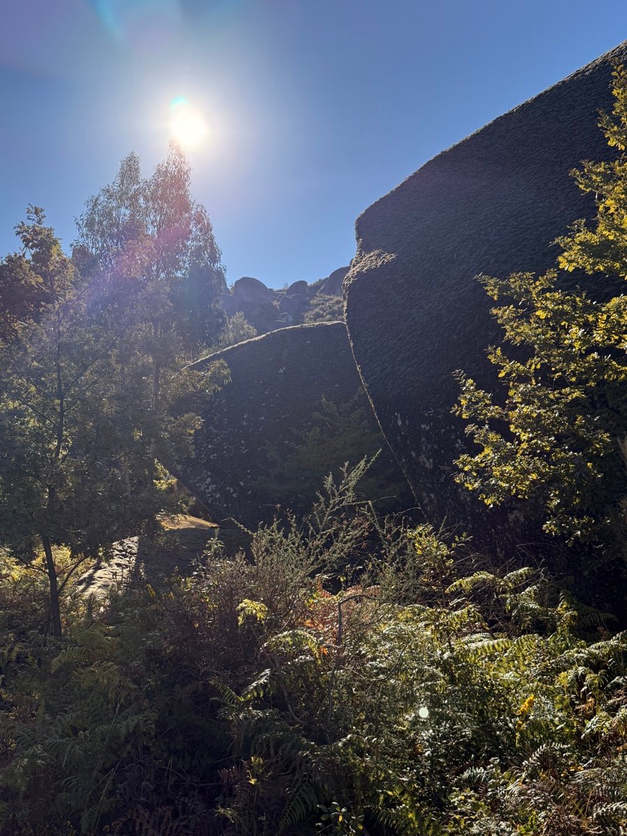
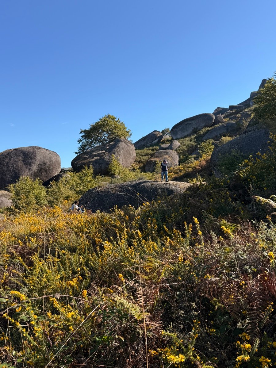
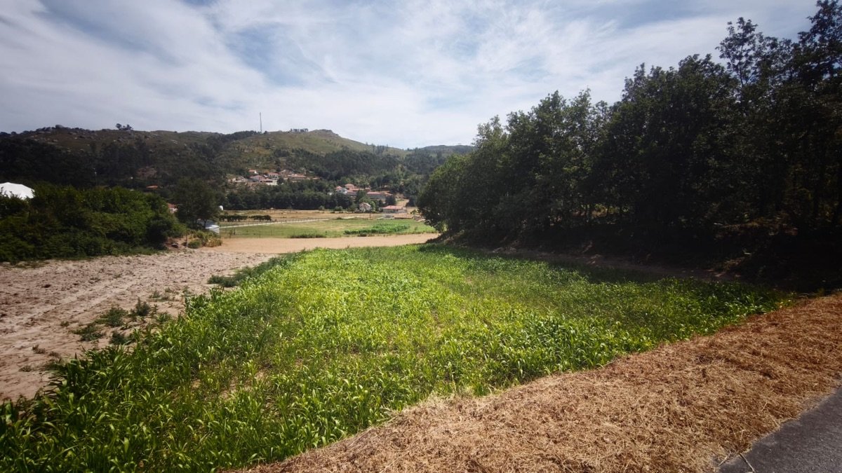
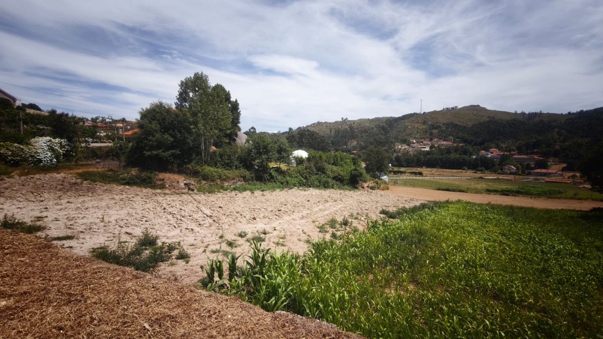
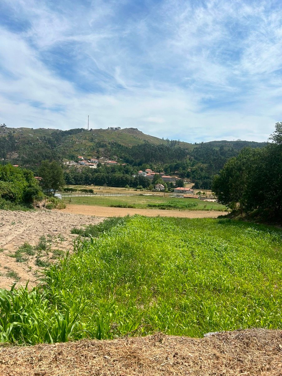
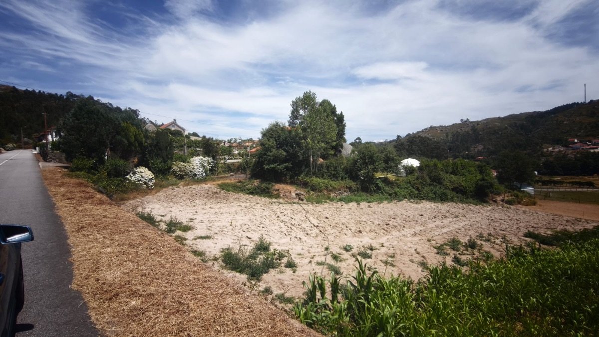
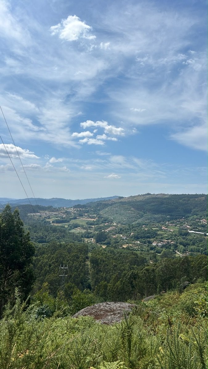
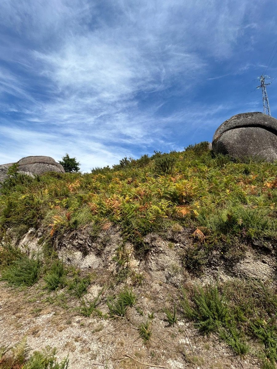
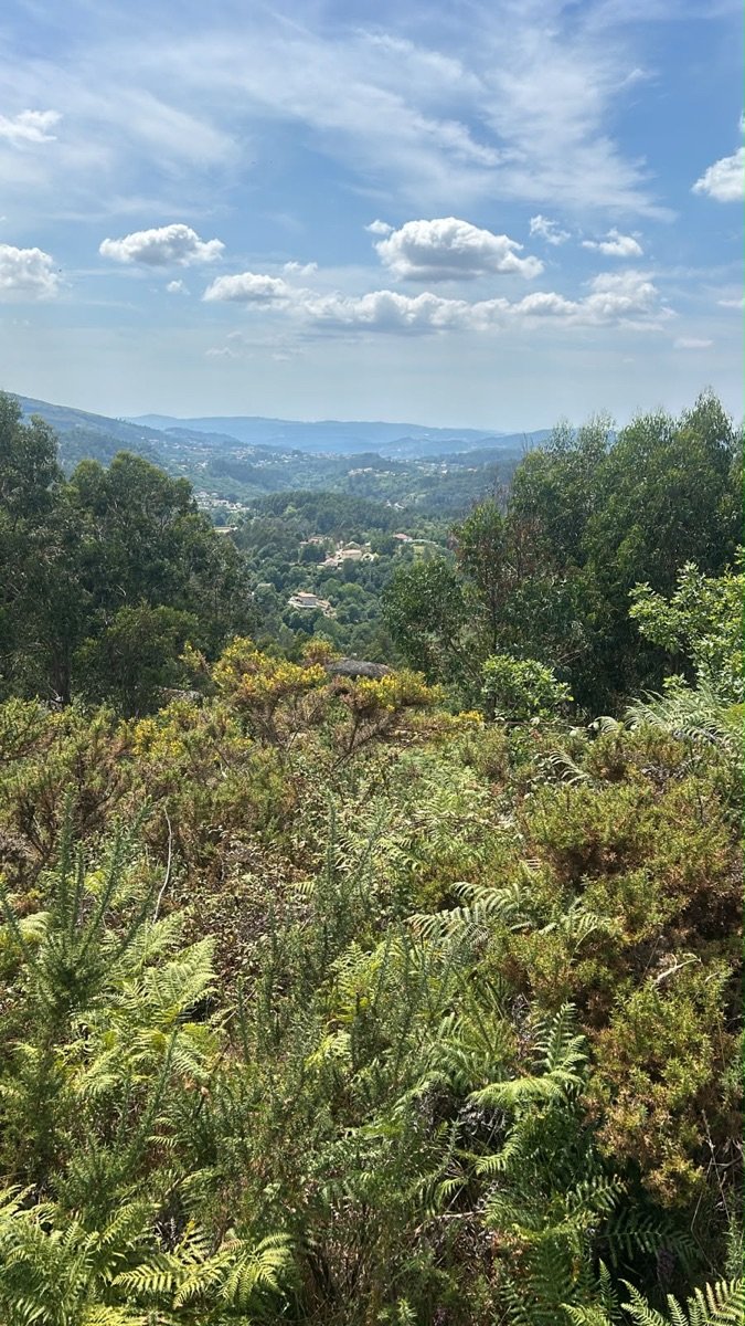
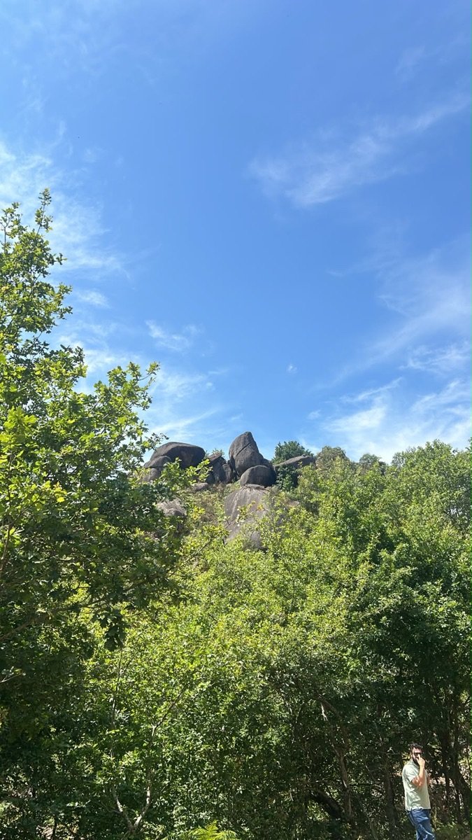
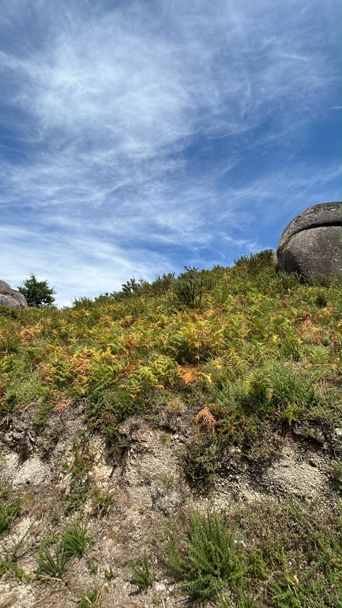
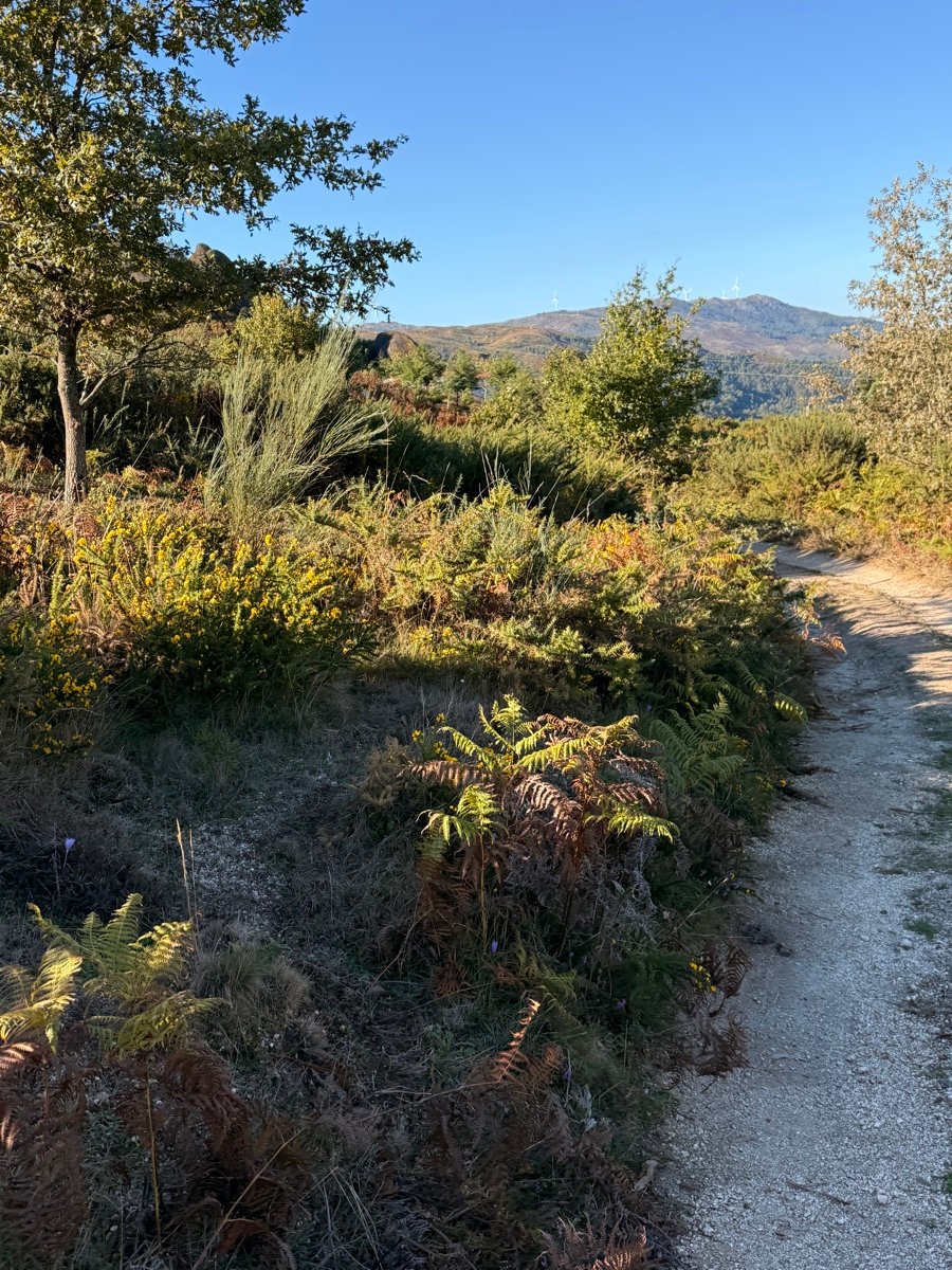
It is a landscape of granite and vegetation from the Serra da Cabreira — rocky outcrops, stone-walled terraces, green valleys. The photographs below are real, taken on the property itself.
The property is not a single block. It falls into two distinct landscapes, minutes apart — and each suggests a different use.
Four adjoining parcels of open, currently cultivated fields, beside the granite houses of Rossas and the road. Flat to gently sloping ground, with direct access and village services at the door. Part of this front is classified as Espaços Urbanos de Baixa Densidade (low-density urban land) in the municipal plan, the remainder as agricultural space.
The hillside: woodland, ferns and great granite boulders, rising to a natural lookout over the whole valley. It is the larger of the two fronts, and the one with the views. It sits entirely on rural-classified land in the municipal plan.
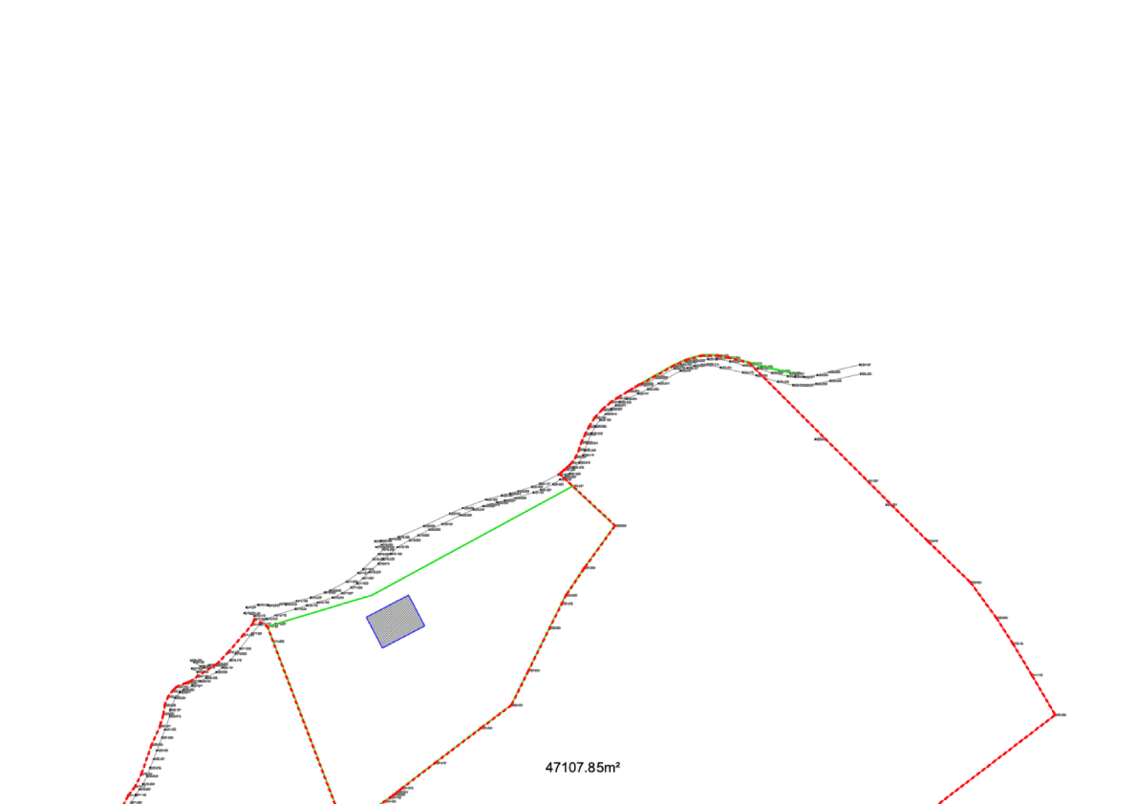
The land is undergoing documentary regularisation — a necessary step before any formal advance in use. Technical details are available, on request, in the investor portal.